

Dronalytics LLC, Liberty, New York
Tree-by-tree inventory for private forest land.
Silvalytics Solutions is shipping Windows software (version 2.19) that turns one drone flight into an inventory of every visible tree on a tract. We are raising a pre-seed round. This page is a summary; the full brief is available on request.
The opportunity
Most US forest land is private, and family owners are aging.
Private forest is inventoried by sampling on foot. The cruise is accurate for what it measures, but it covers a sample, not every tree, and it does not produce a 3D record the owner can open.
-
More than half of US forest land is private.
About 10.6 million private owners; family forests cover 37%.
Source: USDA Forest Service (fs.usda.gov/managing-land/private-land) -
About 75% of New York's 18.7 million forest acres are private.
Roughly 687,000 landowners.
Source: NYS DEC, Forests at a Glance; Forest Tax Law presentation -
32% to 46%, 2013 to 2023.
The share of family forest ownerships whose main decision-maker is over 68.
Source: National Woodland Owner Survey 2013 to 2023, Journal of Forestry, 2026 -
Precision forestry and drone LiDAR are growing markets.
Published estimates differ. Precision forestry grows 5.8% a year (MarketsandMarkets, 2025) to 8 to 10% a year (The Business Research Company, 2025). Drone LiDAR grows 15 to 20% a year.
Source: MarketsandMarkets; The Business Research Company; Mordor Intelligence; Reanin -
Carbon payments reward better inventory.
Improved-forest-management carbon payments. Inventory and verification costs fall hardest on small projects.
Source: Penn State Extension, Dec 2025; Washington Dept. of Ecology forest-offset working group, 2025 -
Plus or minus 10% at 90 to 95% confidence.
The sampling error foresters typically target when cruising.
Source: Oregon Dept. of Forestry sample-size method and BC cruising manual (sampling error); Missouri Extension example and public forum quotes (cost)
Measured, not projected
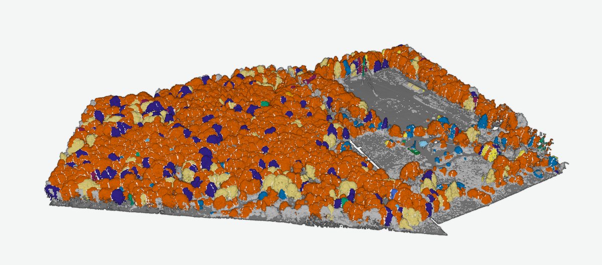
Benton Hollow, Sullivan County, NY: 28.3 acres, one flight.
- 1,865trees mapped
- 66trees per acre
- 80%of canopy LiDAR points tied to an individual tree
- 182 sfull processing run on a laptop, after the flight
- 94 fttallest tree; mean tree height 56 ft
- 140 sto detect 1 line, 2 spans, 6 wires and a 184 ft tower on one 6.6-acre power-line test plot (Flux)
What one tallied plot did for the models.
Held-out results on the same 28.3-acre tract after calibrating settings and refitting on one tallied plot.
| Metric | Before | After |
|---|---|---|
| Crown detection vs field tally, F-score | 0.36 | 0.73 |
| Diameter (DBH) RMSE | 9.3 in (23.5 cm) | 7.2 in (18.3 cm) |
| DBH bias | +4.7 in | -0.4 in |
| DBH median error | 5.3 in | 2.4 in |
| Species, held-out trees correct | 0 of 24 (generic model) | 15 of 24 (62.5%) |
All numbers come from one tract and one tallied plot, except the power-line result from the 6.6-acre Flux plot. The ratio of detected crowns to field trees was 0.78. Height and crown diameter are measured from LiDAR; DBH and volume are model estimates. Species accuracy has not been proven across sites; always guessing the majority species would score 50%.
A cruise still wins on grade and defect, understory and suppressed trees, direct DBH with a tape, species certainty and acceptance in appraisal and legal work. The flight adds complete coverage, a position and height on every tree, speed, repeatability and infrastructure clearance.
Traction
What exists today.
-
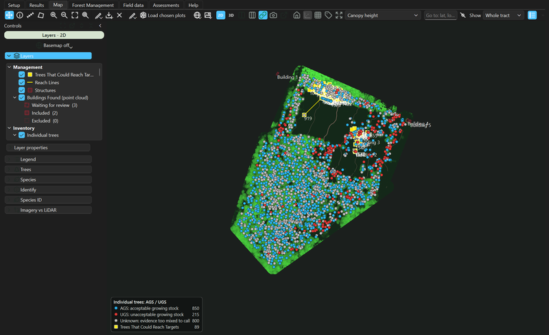
Version 2.19, 2D map with the layer rail. Shipping software
Version 2.19, Windows desktop installer. Individual trees, measurements, species, field calibration, infrastructure detection, GIS and report outputs.
-
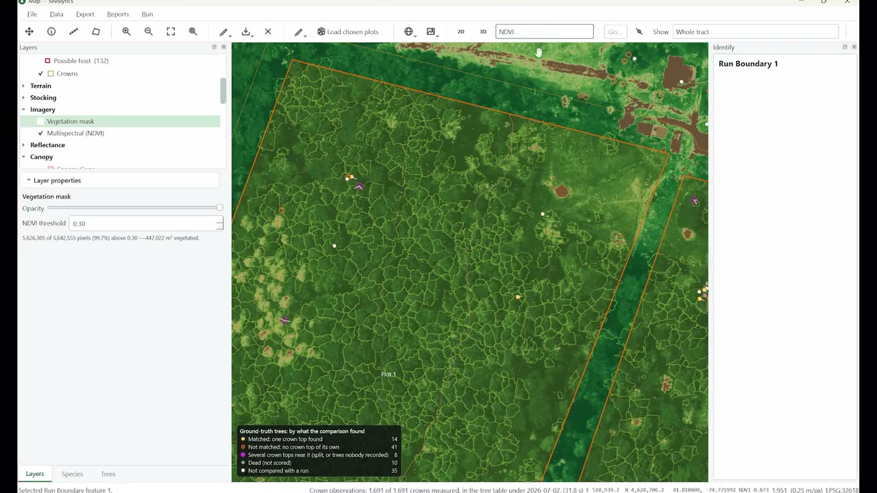
Still from the Innovation Summit video. Shown in public
Formerly presented as Silvalytics.
Trade-show posters and a banner were made under that name, and the Innovation Summit talk was filmed.
-
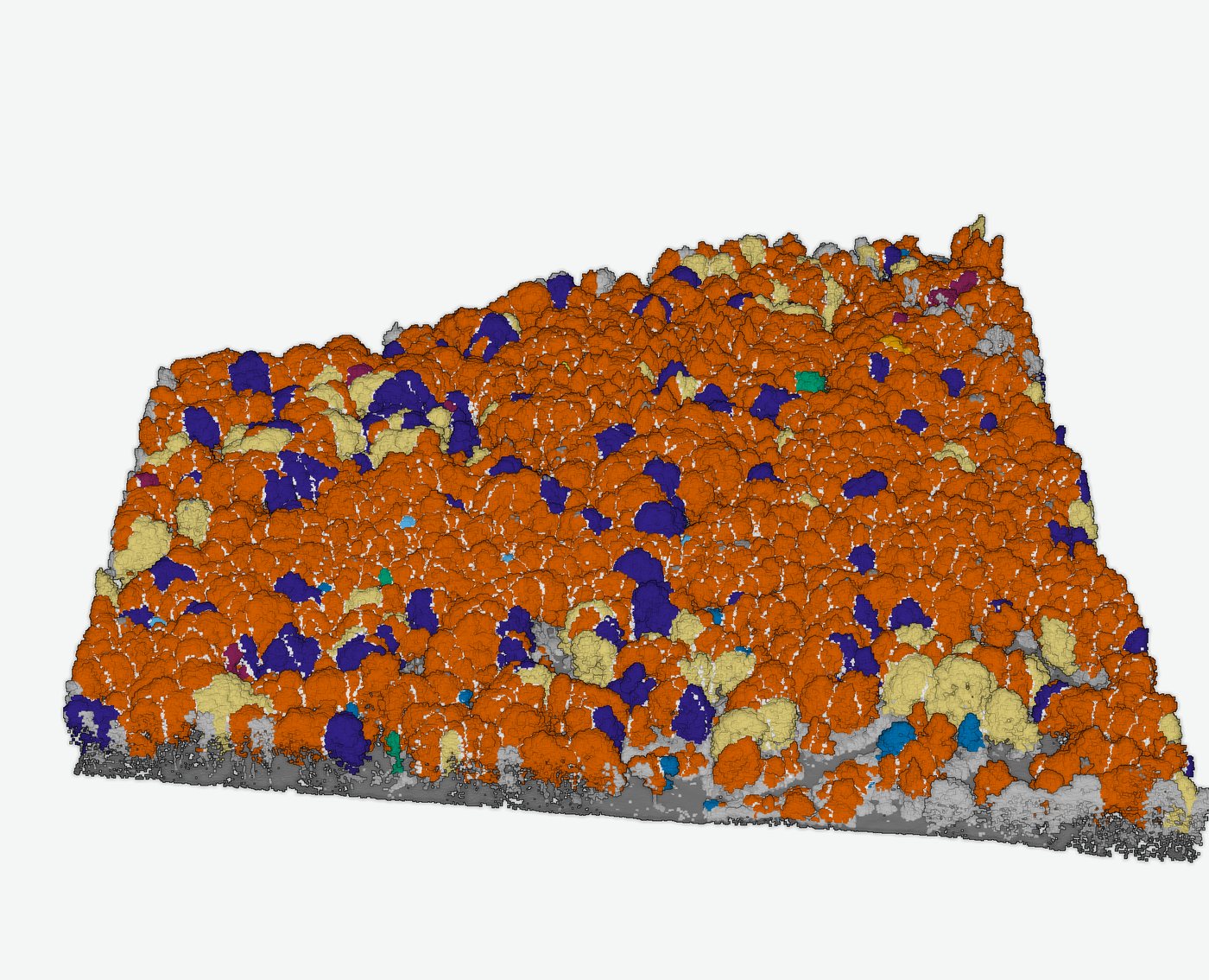
Species color card. Reference library
A Northeast US reference library of 957 taxa with 49 cited sources and spectral references for 88 species ships with the app. Species calls built on it scored 15 of 24 on the held-out trees above.
The round
Pre-seed round, six areas.
We are raising a pre-seed round. Funds go to six areas. The amount and terms are in the full investor brief, available on request.
-
Hardware and compute
Drone, sensor and processing hardware for flights and field work.
-
Sensor engineering
Integrating and testing the sensors we fly.
-
Software and AI
The desktop app, and hosted processing with a web viewer.
-
Field validation
Tallied, RTK-located plots across sites, so species and diameter models can be proven beyond one tract.
-
Manufacturing prep
Getting drone, sensor and field kits ready to build.
-
IP, operations and buffer
Intellectual property work, company operations and a reserve.
Plainly
What is not built yet.
- Hosted or web processing
- Species accuracy proven across sites
- Tracts over about 100 million points without a large-memory workstation (a 172 million-point tract needs about 32 GB today)
Drone and sensor kits, field kits and hosted processing are in development.
Investor brief
Request the full investor brief.
One of us will send the brief by email to the address you give here.